The control of invasive plant species such as Japanese knotweed presents growing safety, ecological, and economic challenges for infrastructure companies in Germany and across Europe. Comprehensive mapping and monitoring solutions therefore require automated image processing and analysis technologies.
AutoFERIA – Remote Sensing of Invasive Plant Species Along Highways

Strategy against invasive species – from highways to municipal green spaces
The AutoFERIA project aims to develop a digital system solution for planning the control of invasive plant species—particularly Japanese knotweed—along German highways and on associated compensation areas. The project seeks to integrate decision-making processes from various observation levels (space, air, ground) to enable both broad-scale mapping and detailed fine-scale mapping, as well as vegetation and safety analyses. Additionally, documenting temporal changes in populations and their spread dynamics will be of critical importance. An integration of databases based on the results of control technique trials is also planned.

AI-assisted plant species recognition from space, air, and ground
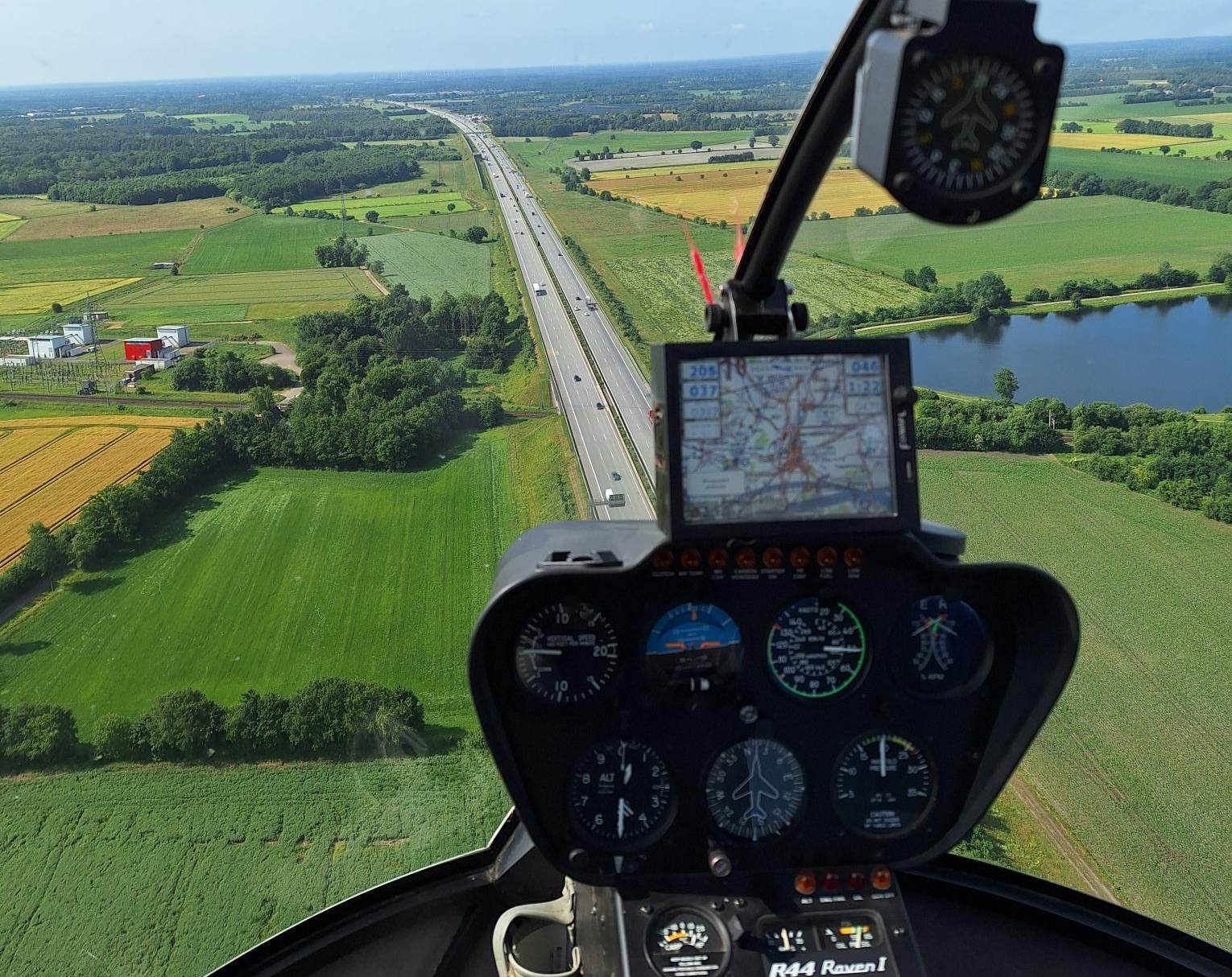
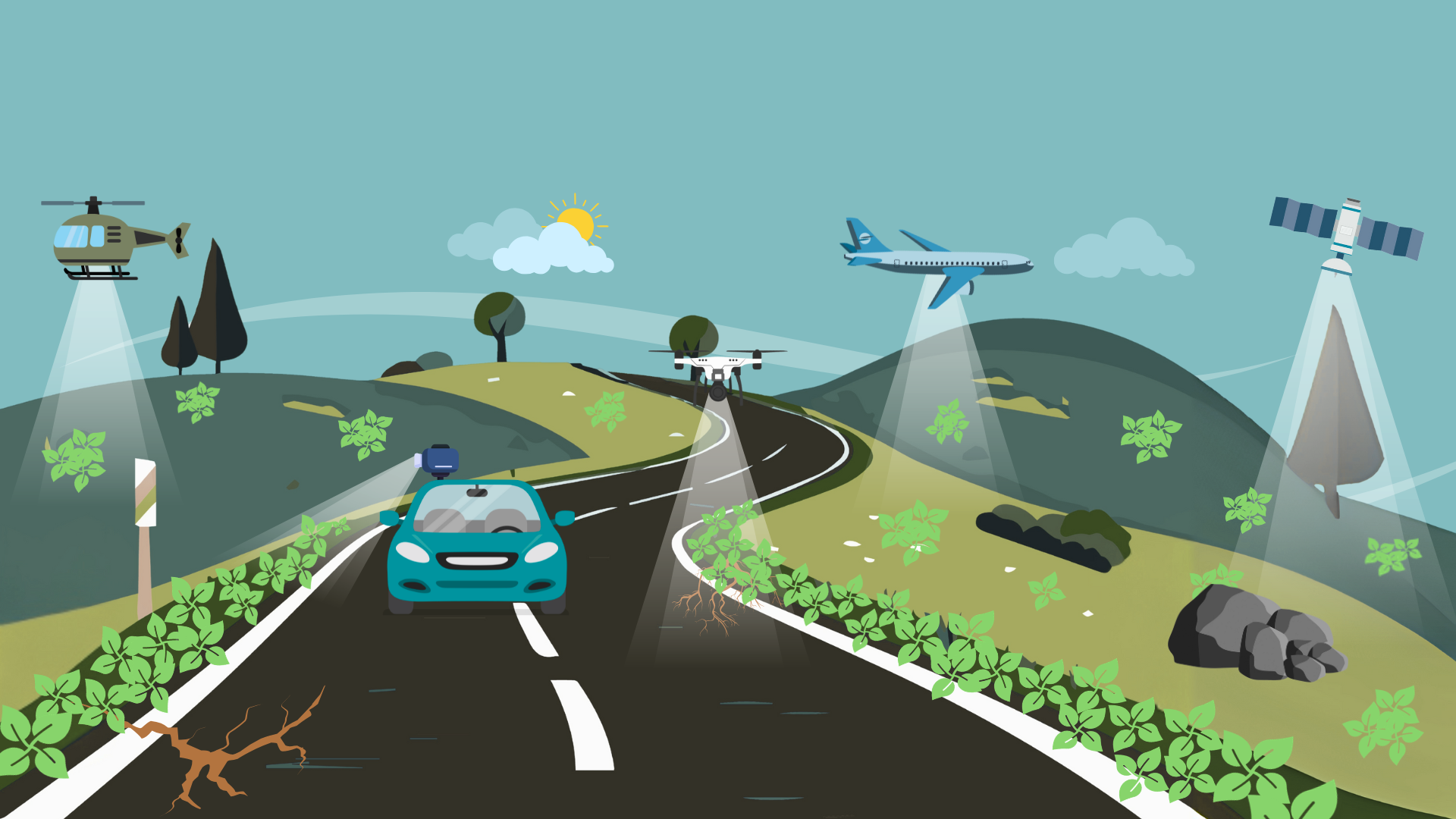
High-resolution RGB and multispectral image data will be collected using various platforms such as satellites, airplanes, drones, helicopters, and camera vehicles. Plant species detection will be carried out through the generation of synthetic data and the development and application of AI-based recognition algorithms. Georeferenced change analyses over time will also be conducted to ensure precise monitoring of plant populations. The project will produce nationwide distribution maps of Japanese knotweed in Germany, serving as overviews, decision-making tools, and deployment planning resources for control efforts.
From highways to agricultural land: broad application possibilities
The digital system solution can optimize and refine the control planning for Japanese knotweed and other invasive plant species. Furthermore, the system enables effective monitoring of compensation areas and drainage systems to detect the spread of invasive species early and implement countermeasures. This monitoring will be usable not only by Autobahn GmbH but also by municipalities. The developed methods and technologies are transferable to other areas of application, such as monitoring roadways, as well as rail and water networks or buildings. This ensures broader applicability and significant benefits for environmental and infrastructure monitoring.
 Fraunhofer Institute for Computer Graphics Research IGD