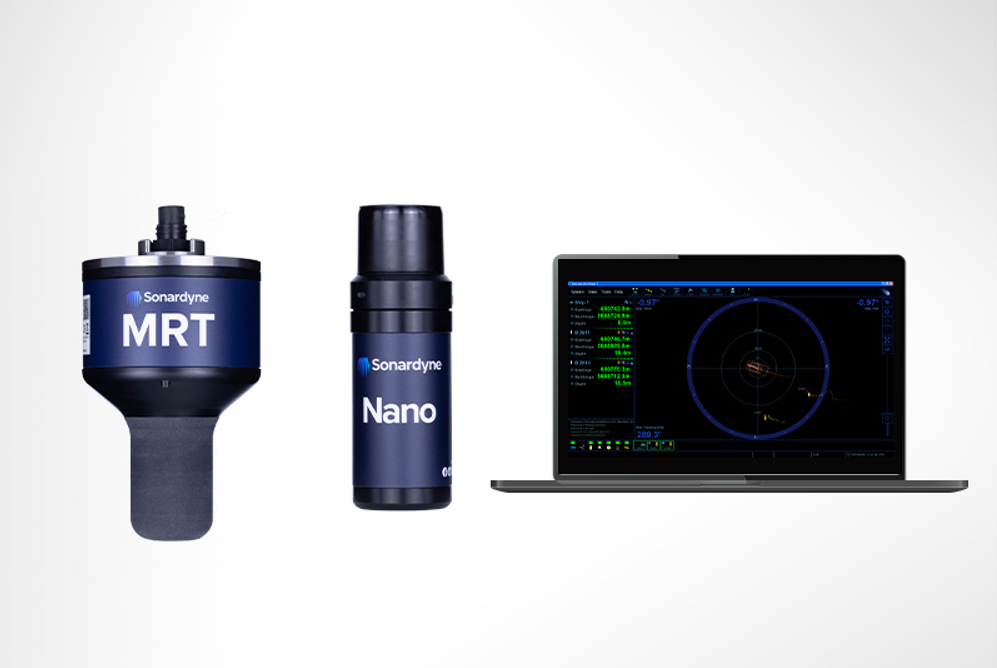
Overview available survey systems
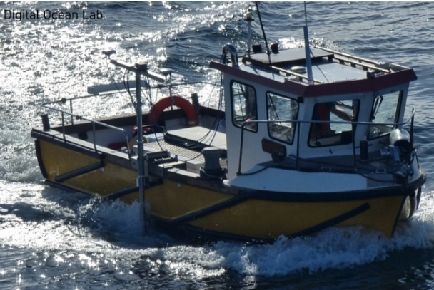
The Digital Ocean Lab integrates cutting-edge survey technologies to support high-resolution underwater mapping, object detection and infrastructure inspections. Two key components in the lab’s sensor suite are the Teledyne SeaBat T51 Multibeam Echo Sounder (MBES) and the Klein MA-X View 600 Side Scan Sonar, both paired with advanced positioning and control systems for optimal accuracy and performance.
Applications and Use Cases
- Seafloor Mapping and Topography
- High-resolution bathymetric data from the SeaBat T51 provides detailed models of seafloor terrain, enabling resource planning, marine research and construction projects.
- Object Detection and Classification
- The Klein MA-X View 600 excels in detecting underwater objects, including UXO, debris and shipwrecks, offering detailed imagery that supports further analysis and decision-making.
- Marine Infrastructure Inspection
- Both sonar systems are ideal for assessing the condition of underwater infrastructure. High-definition imaging ensures that structural damage, sediment accumulation or corrosion can be detected early.
- Environmental Monitoring
- These technologies provide data critical for habitat assessment, sediment transport studies,[MOU2] and monitoring the impact of human activities on marine ecosystems.
- Accident and Incident Investigation
- The system supports detailed post-incident surveys by generating high-resolution images of debris fields, enabling accurate documentation and analysis of underwater events.
Focus 3 Underwater Vehicle
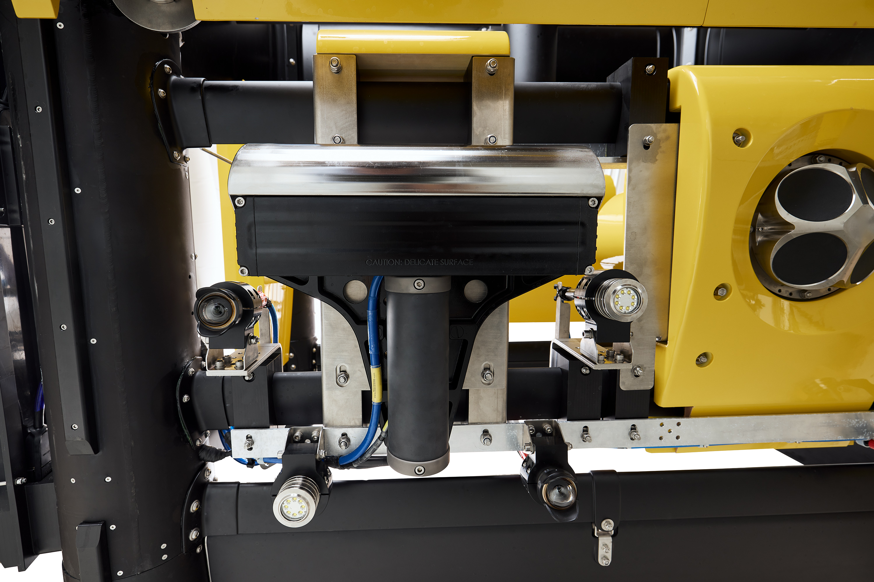
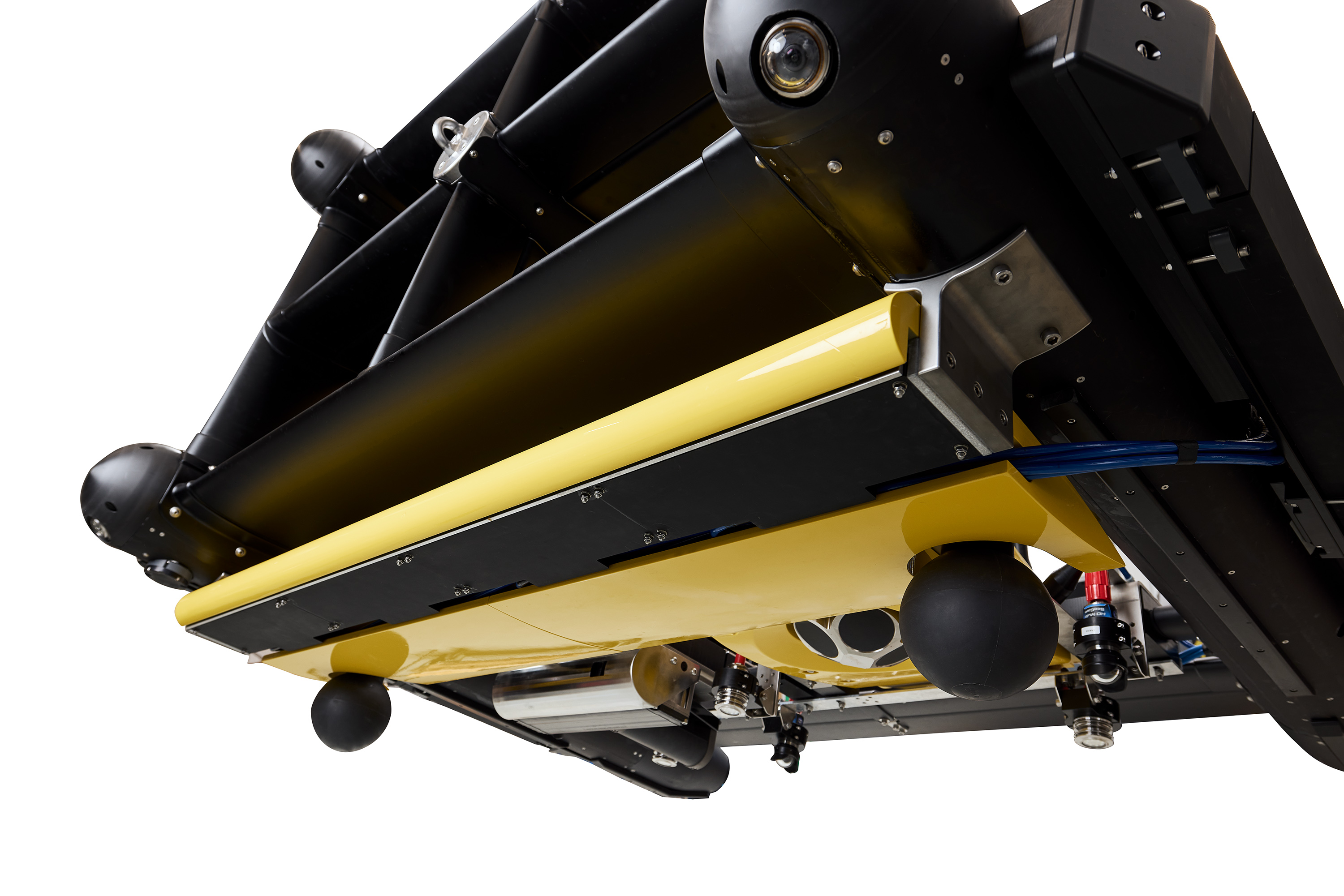
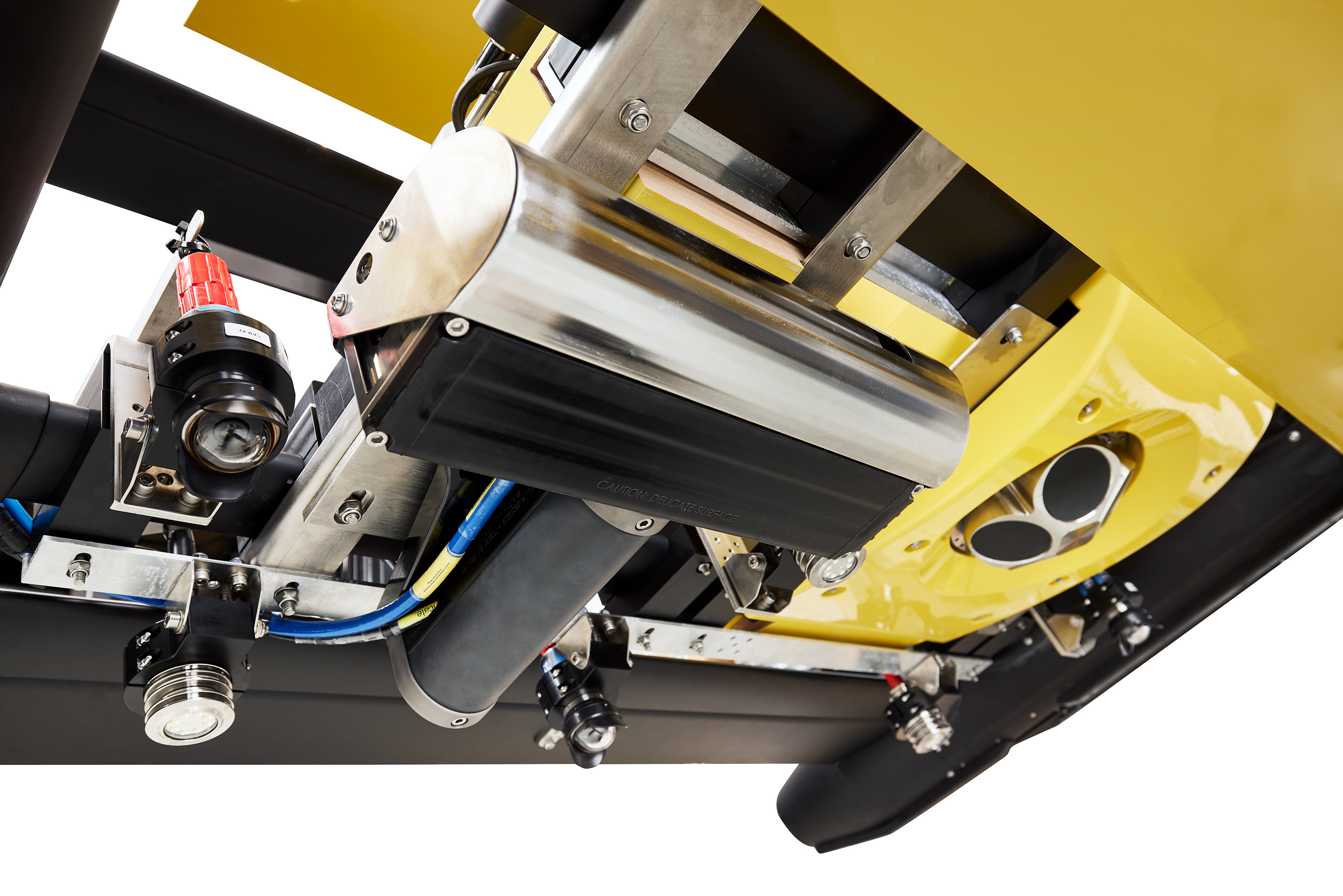
The MacArtney Focus 3 Underwater Vehicle, operated within the Digital Ocean Lab, is equipped with a unique, comprehensive suite of high-resolution sensors. Designed to meet the most demanding requirements of underwater research, monitoring and inspection, the system reflects the current state of the art in underwater technology. Its integration into the Digital Ocean Lab's infrastructure ensures access to cutting-edge capabilities for researchers, safety experts and environmental specialists.
Key Features :
- INS SPRINT-Nav 700: A high-precision Inertial Navigation System (INS) that integrates advanced motion and positioning sensors.
- MBES Teledyne T50 (Multibeam Echo Sounder): A high-resolution multibeam echo sounder that generates detailed seafloor maps.
- Synthetic Aperture Sonar (SAS) – Kraken MINSAS 120: This ultrahigh-resolution sonar system delivers unprecedented seafloor imaging, capable of detecting and classifying small or partially buried objects.
- 3D Sub-Bottom SAS – EdgeTech eBOSS: The sub-bottom SAS profiler uses synthetic aperture technology to create detailed 3D reconstructions of subsurface layers.
- Gradiometer 3+1 – Geometrics G-882: A magnetometer array capable of detecting minute magnetic anomalies.
- Four HD Cameras with Integrated Lighting: four high-definition cameras and powerful underwater lights, providing exceptional visual coverage for documenting the seafloor, habitats and subsea structures.
- Sonardyne USBL Sub-Mini 6+ Transponder: An ultrashort baseline (USBL) acoustic positioning system that ensures real-time, precise tracking of the vehicle.
- Valeport Midas Environmental Sensors: A versatile CTD sensor suite for in situ water quality monitoring
 Fraunhofer Institute for Computer Graphics Research IGD