 Fraunhofer Institute for Computer Graphics Research IGD
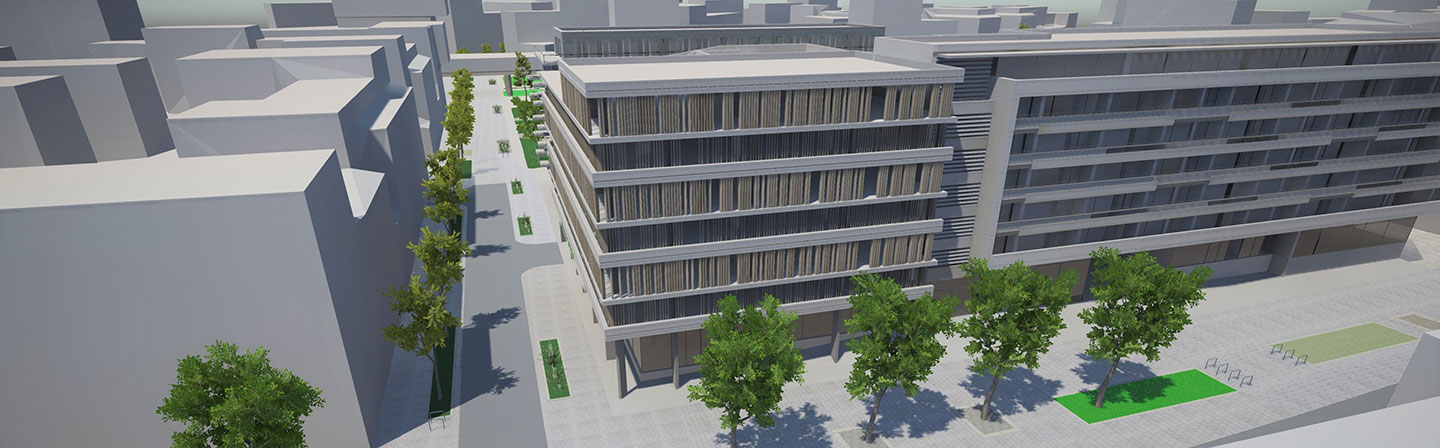
The urban planning of the future: Participation succeeds with VR and AR
An Austrian research group, with the assistance of Fraunhofer Austria, has developed simulation software through which all involved are better included in the urban planning process. Road designs become an intuitive experience with VR glasses or a tablet. For towns and urban planners, there is also a manual for how the new technology can best be integrated into internal processes.

Participatory planning is the all-important keyword when it comes to planning and construction, especially in densely populated areas. In the recently concluded research project “VR Planning - We’re Planning”, the team members explored the inclusive, efficient and sustainable process for designing public spaces. Virtual and augmented reality (VR and AR) are used as an interactive option for including everyone involved in the planning process.
With modern urban planning, everyone is involved -- this is made all the more difficult when interests and background knowledge are considerably disparate. Planners, architects, politicians, residents -- all have different ideas of how to build a new road or even a completely new part of a city. Once there is a design in place, it must be communicated transparently and all participants given easy ways to provide feedback. The research project studied how VR and AR can be tailored to various interest groups and their expertise in order to expand existing participation methods. Better spatial understanding makes it easier for different levels to collaborate, increases citizen involvement and promotes acceptance of new road and building concepts.
Experience infrastructure with VR and AR before it’s built
Based on the specific planning tasks for Seestadt Aspern, a completely new district of Vienna that is still in planning, and for the new forecourt of the Kapfenberg train station, VR and AR were used in a sample participatory planning process with citizens and planners from various disciplines as well as local officials. In a demo, interested parties wore VR glasses to stroll through the new streets/train station, including the immediate surroundings. They were able to switch between different design variants, experience the space from a child’s perspective, and see the area at different times of day and the vegetation after different lengths of time. For Seestadt Aspern, there were two development concepts available with different amounts of parking stalls and green spaces, and a feedback function allowed participants to vote on their favorite. But it’s not just virtually, with VR glasses, that plans can be more easily comprehended: The project also developed an AR tool that displays potential final views on a tablet when talking about building or road plans. The functional prototypes for VR and AR applications developed in the project are now ready to use on future research and business collaborations.
Handbook helps urban planners introduce VR/AR applications
Another core result of the project is a manual for integrating VR and AR into the communication of urban developers, participatory planning and multidisciplinary technical planning. It provides practical explanations of what is needed to integrate VR or AR applications, lowers barriers and reservations about the technology, and actively helps decision-makers and urban planners introduce innovative options for participatory planning. Based on the practical experience gained from the project, the manual also includes cost estimates. Options for using VR and AR exist throughout the entire planning process, from gathering ideas in advance of specific planning to brainstorming/developing visions for urban spaces, to consolidating through user-generated design, to realistic design testing. The manual is available to interested towns and planning institutions for future research projects.
For the last 10 years in its “Visual Computing” Business Unit in Graz, Fraunhofer Austria has been enshrining the technology of the Fraunhofer Institute for Computer Graphics Research IGD, which finds answers to all the questions of a smart city, from citizen involvement to geodata usage, to smart living.
The research project “VR Planning - We’re Planning” was funded by the Federal Ministry for Transport, Innovation and Technology as part of its “Mobility of the Future” program. Its project partners are the Austrian Institute of Technology (AIT), Fraunhofer Austria, PlanSinn Planning & Communication, Vienna 3420, ByteFex and ostertag ARCHITECTS.