 Fraunhofer Institute for Computer Graphics Research IGD
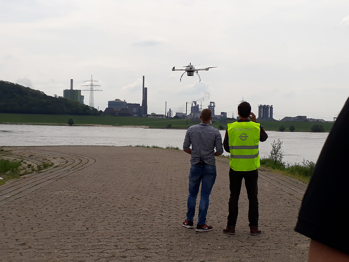
Automated acquisition of geodata for safe integration of drones into airspace
DFS Deutsche Flugsicherung, the German air navigation service provider, intends to use highly precise geodata to register and publish no-fly zones for drones. This is an important prerequisite for the safe and fair integration of unmanned aircraft systems into German airspace. For this purpose, DFS has initiated the fAIRport project in cooperation with wetransform, a company based in Darmstadt, and in coordination with the Fraunhofer Institute for Computer Graphics Research IGD in Rostock.

The project is scheduled to last three years and is funded by the German Federal Ministry of Transport and Digital Infrastructure (BMVI) in the amount of EUR 1,205 million within the framework of the research initiative mFund. The focus of the project is on developing a geodata platform based on open standards, which will be operated by wetransform. Data on no-fly zones in accordance with Section 21 of the German Aviation Regulation will be collected from different sources and harmonised.
High data quality with automated processes
The comprehensive geodata will augment the relevant terrain features and obstacle data already available at DFS. Terrain features which have not yet been mapped will be recognised based on high-resolution aerial photographs aided by artificial intelligence (AI). Such features include wind turbines, heliports, rail and road networks, industrial facilities but also places with potential assemblies of persons such as camping sites, and many more.
The technologies developed by the Fraunhofer IGD make it possible to automatically identify terrain features in aerial photographs. With the help of machine viewing and learning methods, structures and patterns can be reliably detected and classified correctly. This makes it possible to update no-fly zones for drones all over Germany and provide them in an up-to-date geodata set.
Wetransform is also developing an interface for public authorities to integrate information which will lead to temporary no-fly zones. Towns or municipalities will be able to use the new portal to enter data on assemblies of people, markets or concerts, for example, but also on explicitly declared zones where drones are allowed to fly. Existing flight-relevant geodata, for example on air navigation obstacles, will be checked and updated. In this way, the project will not only provide the data basis required for drone flights but also make a positive contribution towards airspace and procedures planning and, in this way, towards safety in air traffic.
Comprehensive data to ensure safe drone flight
Improved data allow precise and safe drone navigation and, consequently, expand the possibilities to use drones. Helicopter missions and control and maintenance flights along high-tension wires, oil and gas pipelines might, for example be replaced with drones. Medicines, organs transplants or even blood supplies might be transported faster and more efficiently with drones. Drone operations in connection with rescue missions can save lives. An operational UTM system based on highly precise geodata makes it possible to exploit the full potential of unmanned aircraft systems and integrate them safely into the existing system. In addition, the increased use of drones offers new perspectives for climate protection by substantially reducing CO2 and noise emissions.
Information about mFund of the Federal Ministry of Transport and Digital Infrastructure (BMVI)
The BMVI has been funding R&D projects related to digital data-based applications for Mobility 4.0 with a research initiative called mFUND. mFUND not only provides financial assistance but, with different event formats, it fosters networking between stakeholders from the political sphere, as well as the business and the research communities. It also promotes access to the mCLOUD data portal. More information can be found at www.mfund.de
Project partners
The Fraunhofer Institute for Computer Graphics Research IGD was founded in 1987. It is the internationally leading organisation for applied research in visual computing. We convert information into graphics and graphics into information. We focus on human-machine interaction, virtual and augmented reality, artificial intelligence, interactive simulation, modelling, 3D printing and 3D acquisition. Approximately 220 researchers at the five sites in Darmstadt, Rostock, Kiel, Graz and Singapore are developing new technological solutions and prototypes for industry 4.0, digital healthcare and the “Smart City Experience”. With our annual research volume of EUR 21 million, we offer applied research to support the strategic development of the industry and economy.
DFS Deutsche Flugsicherung GmbH, the German air navigation service provider, is a State-owned company under private law with 5,600 employees as at 31/12/2019. DFS ensures the safe and punctual flow of air traffic over Germany. Around 2,200 air traffic controllers guide up to 10,000 flights in German airspace every day, more than three million movements every year. This makes Germany the country with the highest traffic volume in Europe. The company operates control centres in Langen, Bremen, Karlsruhe and Munich as well as control towers at the 16 designated international airports in Germany. The subsidiary DFS Aviation Services GmbH markets and sells products and services related to air navigation services, and provides air traffic control at nine regional airports in Germany and at London Gatwick Airport and Edinburgh Airport in the UK. DFS has been working on the integration of drones into air traffic since 2016 and has set up a joint venture, Droniq GmbH, with Deutsche Telekom. www.dfs.de
Wetransform GmbH was founded in 2015 as a spin-off of Fraunhofer IGB in Darmstadt. Meanwhile, the company has 12 employees. Wetransform supports more than 400 organisations in making their data accessible and usable, for example by easy implementation of the INSPIRE standard for geodata and environmental data.